GIS ESRI Software ArcGis, ArcView 3.x, ArcInfo (programmazione in AML, VBA) e Autodesk Map. Software per il
processamento di immagini satellitari: ER MAPPER, ENVI and ERDAS.
GIS ESRI Software ArcGis
Progetti innovativi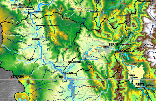
GIS ESRI Software ArcGis, ArcView 3.x, ArcInfo (programmazione in AML, VBA) e Autodesk Map. Software per il
processamento di immagini satellitari: ER MAPPER, ENVI and ERDAS.